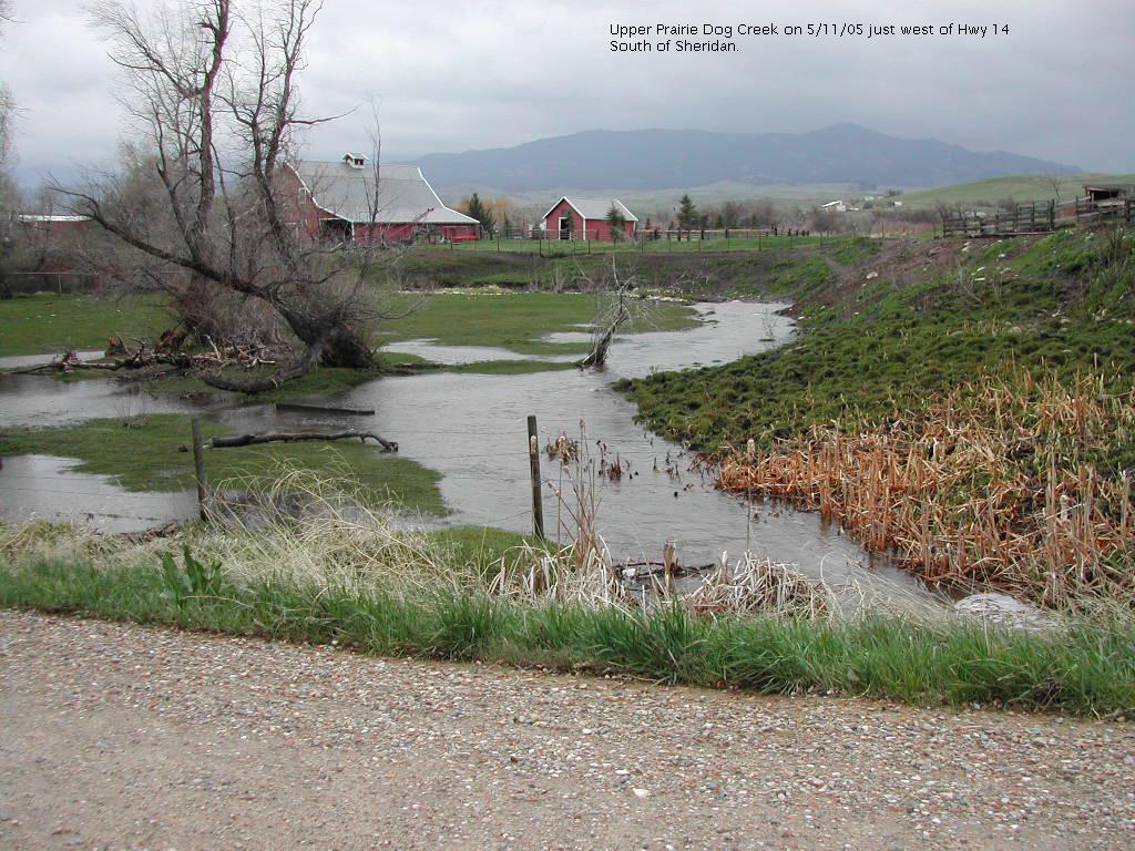
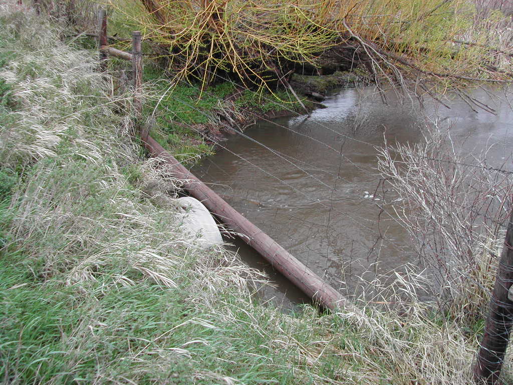
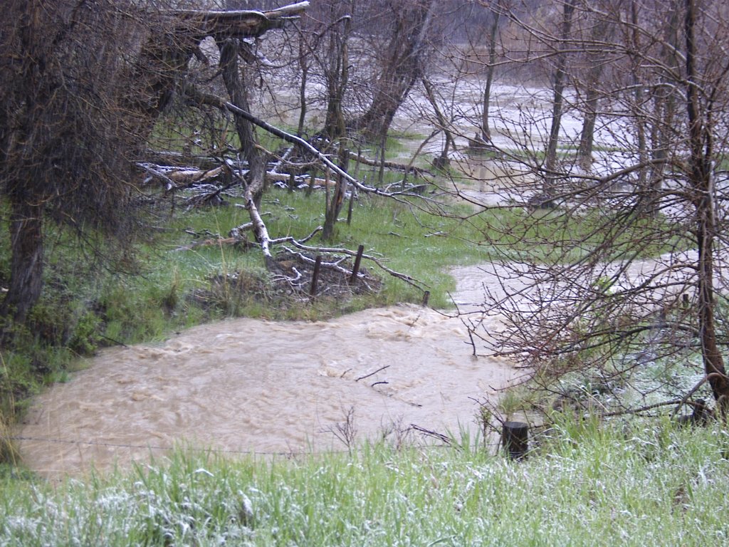
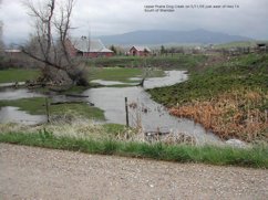
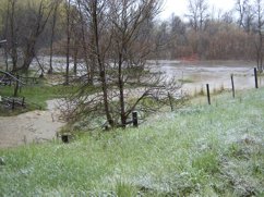
 11 May 2005 - Upper Prarie Dog Creek, just wet of Hwy 14 South of Sheridan
|
 2005May07-1906-01.jpg
|
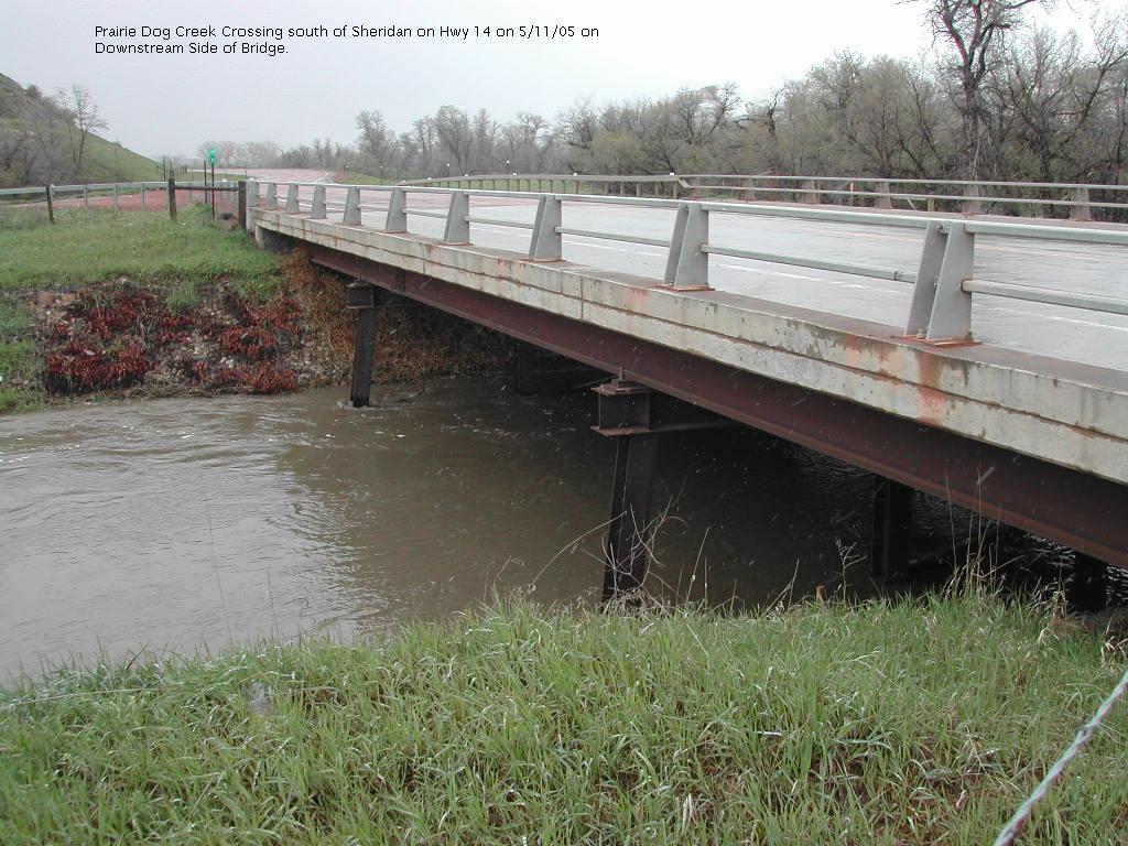
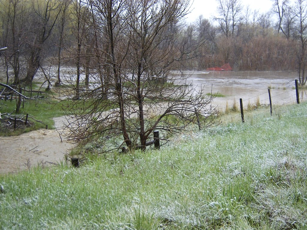
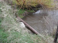
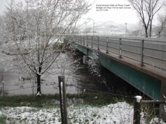
 11 May 2005 - Prarie Dog Creek Crossing south of Sheridan on Hwy 14, Downstream side of bridge
|
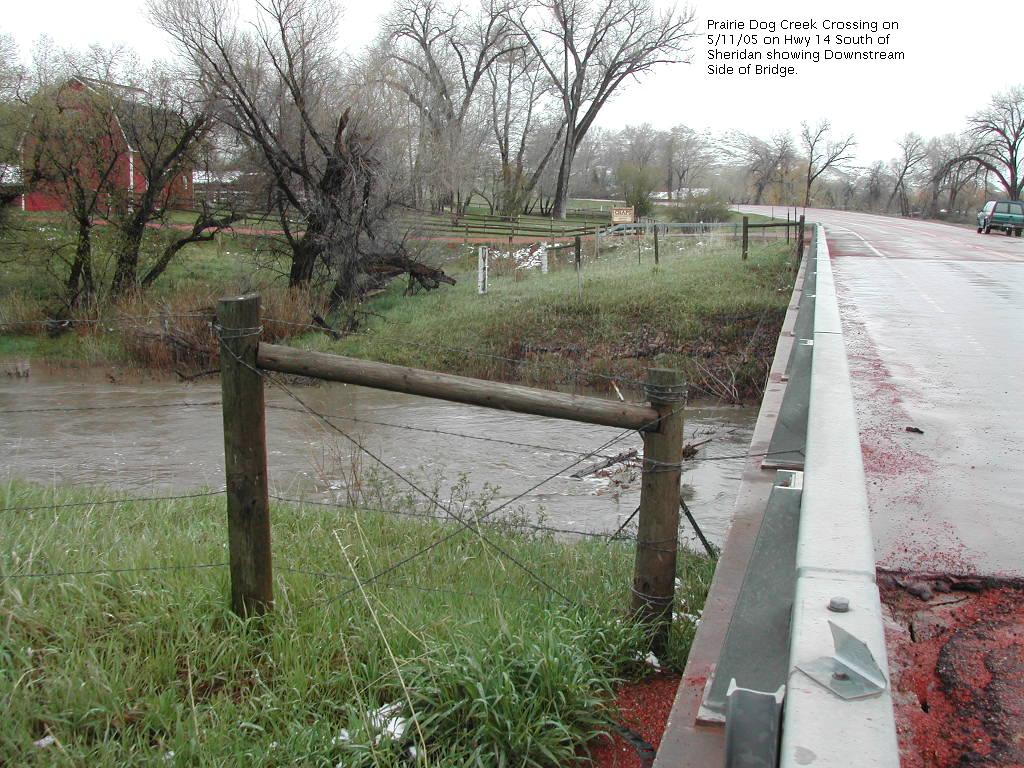
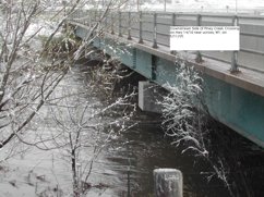
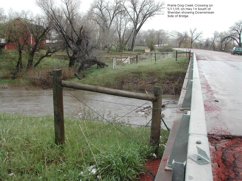 11 May 2005 - Prarie Dog Creek Crossing on Hwy 14 sout of Sheridan, showing Downstream side of bridge
|
|
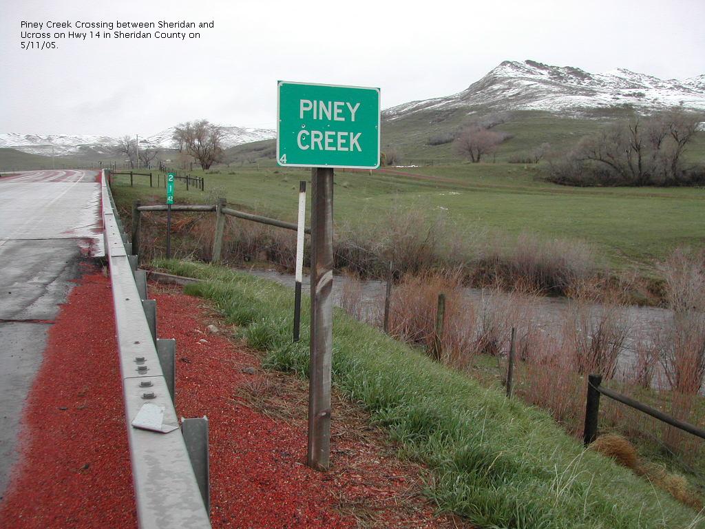
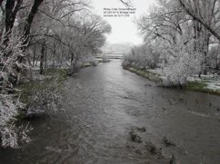
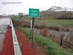 11 May 2005 - Piney Creek Crossing between Sheridan and Ucross on Hwy 14
|
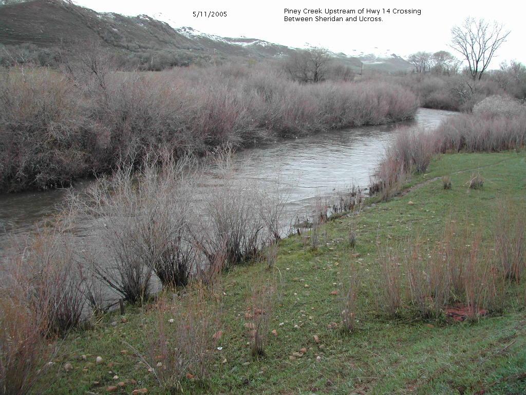
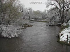
 11 May 2005 - Piney Creek Upstream of Hwy 14 Crossing between Sheridan and Ucross
|
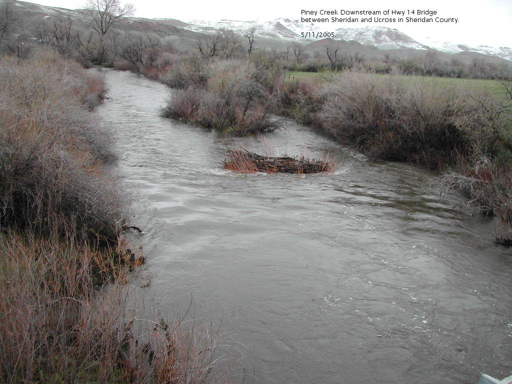
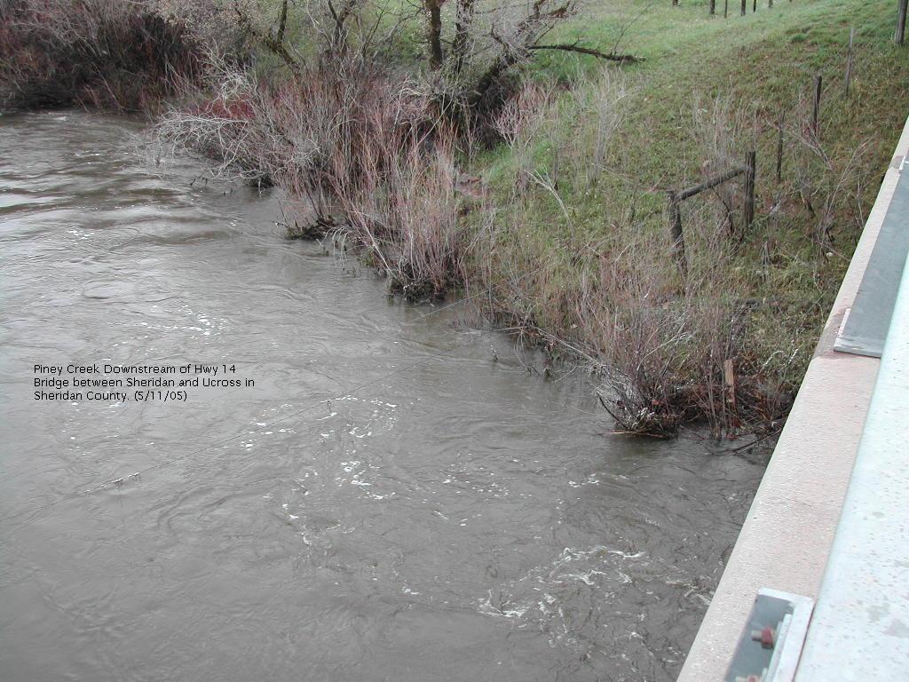
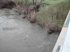
 11 May 2005 - Piney Creek Downstream of Hwy 14 Bridge between Sheridan and Ucross
|
 11 May 2005 - Piney Creek Downstream of Hwy 14 Bridge between Sheridan and Ucross
|
|
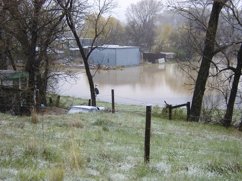
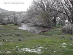 Piney Creek near Cooksley House on North Side of Hwy 14
|
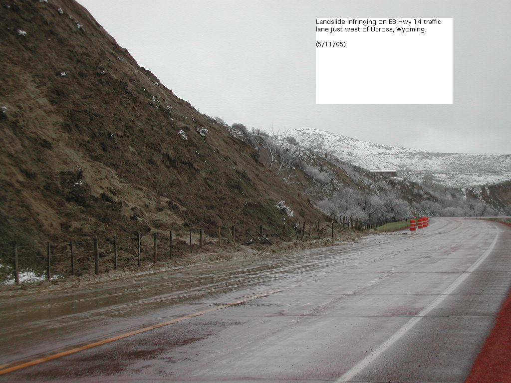
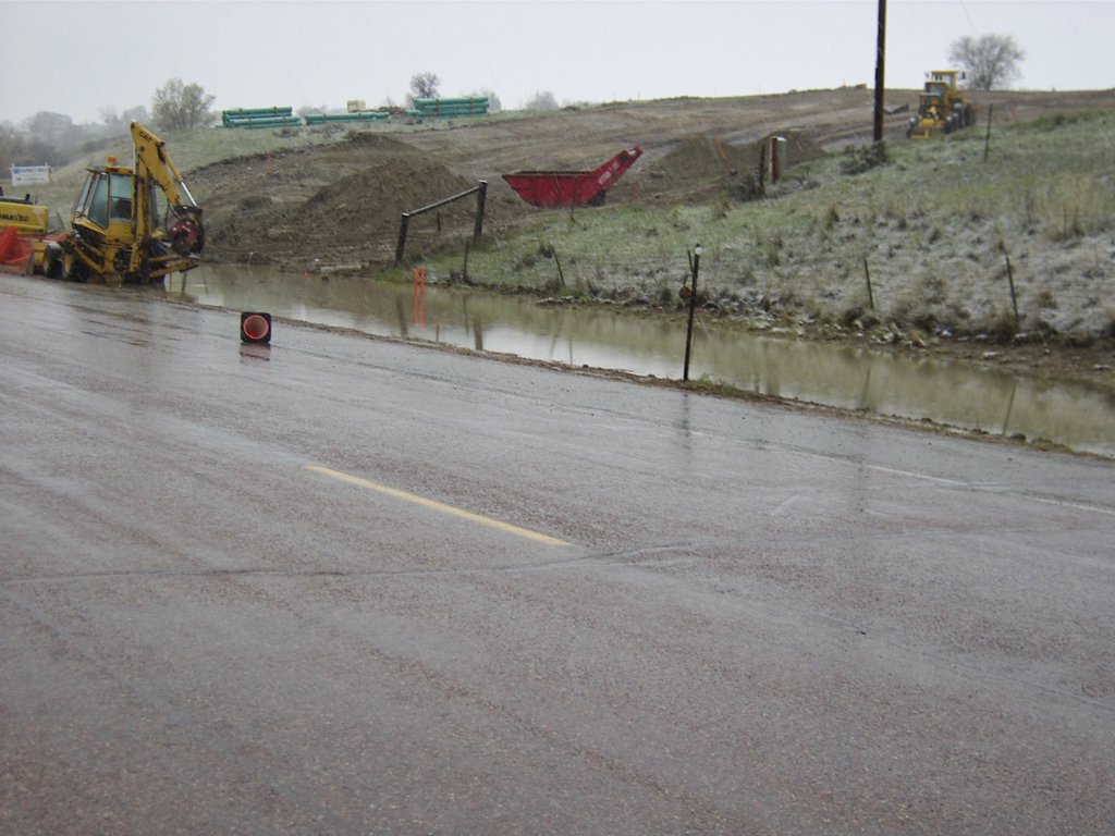
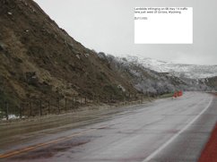
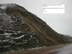 11 May 2005 - Landslide on Hwy 14 just west of Ucross. Slide had to be cleared off of embankment.
|
 11 May 2005 - Landslide infringing on embankment Hwy 14 traffic lane just west of Ucross
|
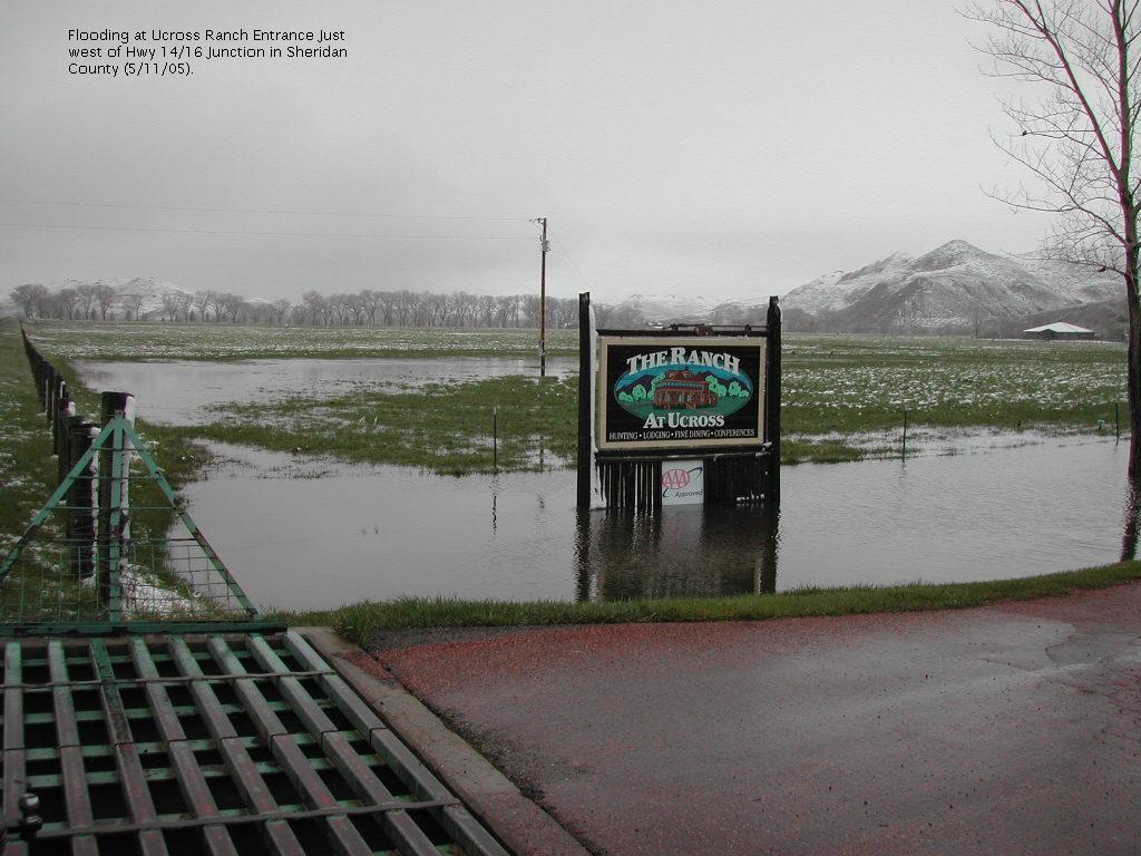
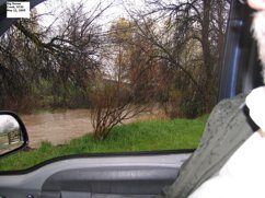
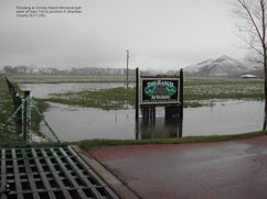 11 May 2005 - Flooding at Ucross Ranch Entrance just west of Hwy 14/16 Junction
|
|
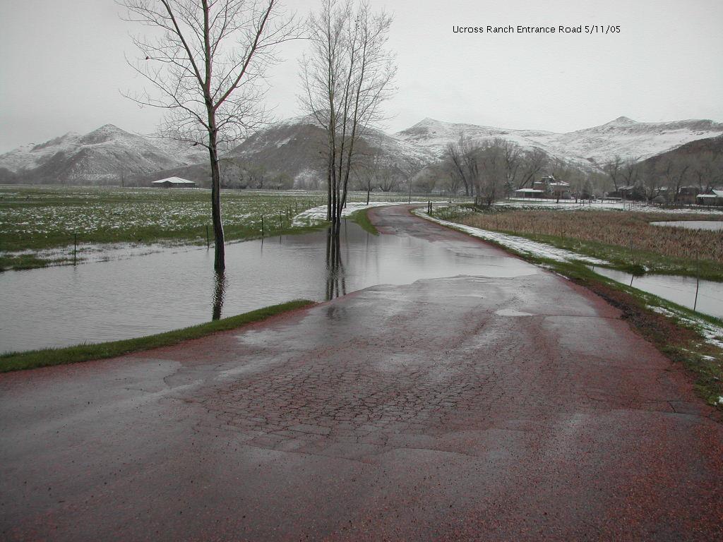
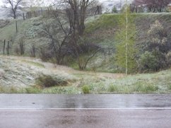
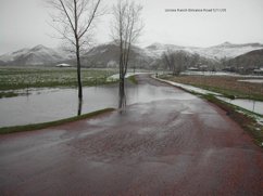 11 May 2005 - Ucross Ranch entrance road
|
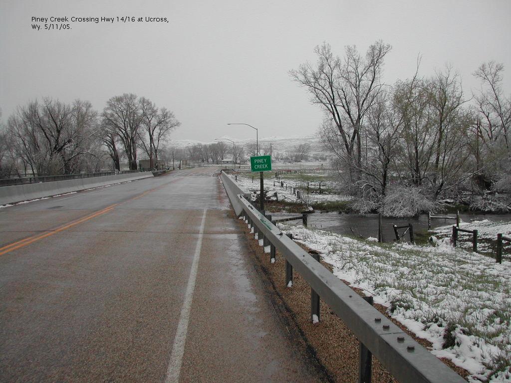
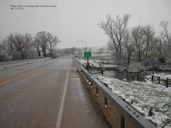 11 May 2005 - Piney Creek Crossing Hwy 14/16 at Ucross
|
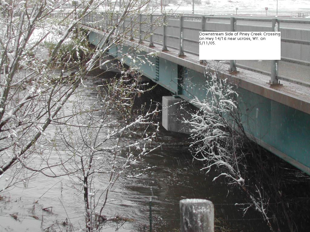
 11 May 2005 - Downstream Side of Piney Creek Crossing on Hwy 14/16 near Ucross
|
 11 May 2005 - Downstream Side of Piney Creek Crossing on Hwy 14/16 near Ucross
|
|
 11 May 2005 - Piney Creek Downstream of US 14/16 Bridge near Ucross
|
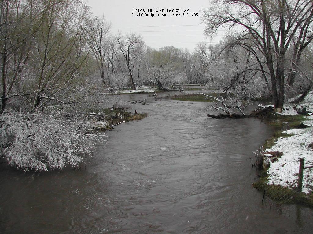
 11 May 2005 - Piney Creek Upstream of Hwy 14/16 Bridge near Ucross
|
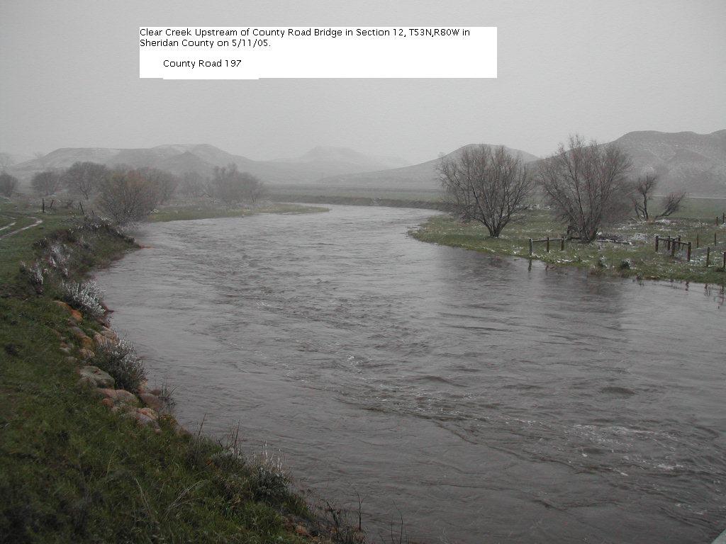
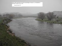 11 May 2005 - Clear Creek Upstream of County Road Bridge in T53N, R80W, S12, County Road 197
|
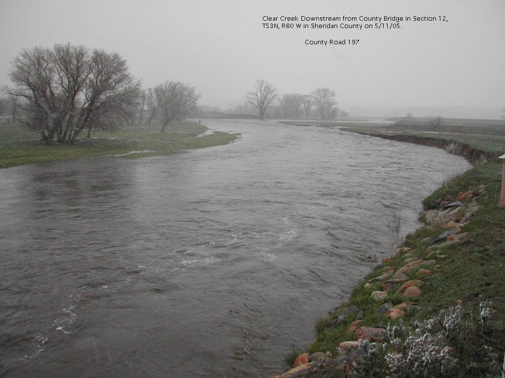
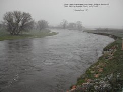 11 May 2005 - Clear Creek Downstream from County Bridge in T53N, R80W, S12, County Road 197
|
|
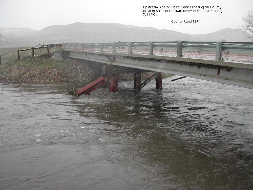
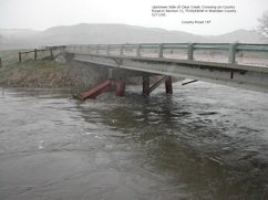 11 May 2005 - Upstream side of Clear Creek Crossing on County Road in T53N, R80W, S12, County Road 197
|
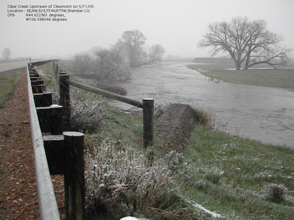
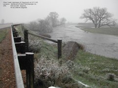 11 May 2005 - Clear Creek Upstream of Clearmont T54N, R79W, S29, BD
|
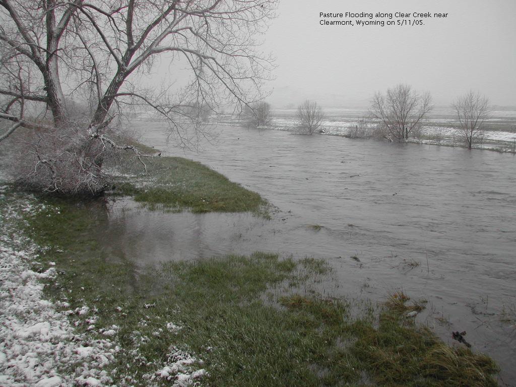
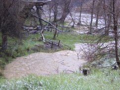
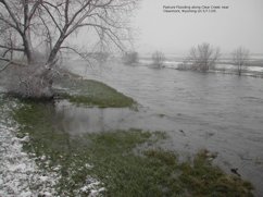 11 May 2005 - Pasture flooding along Clear Creek near Clearmont
|
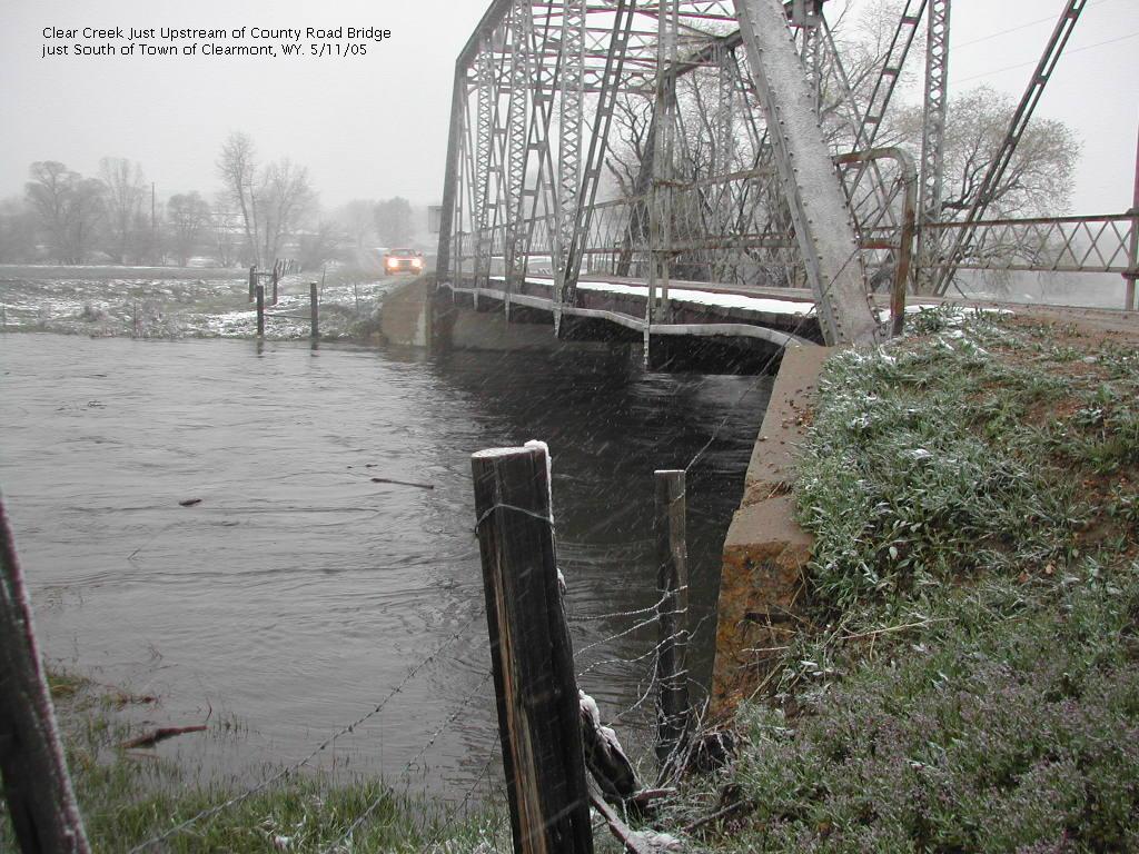
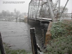 11 May 2005 - Clear Creek just Upstream of County Road Bridge just South of Town of Clearmont
|
|
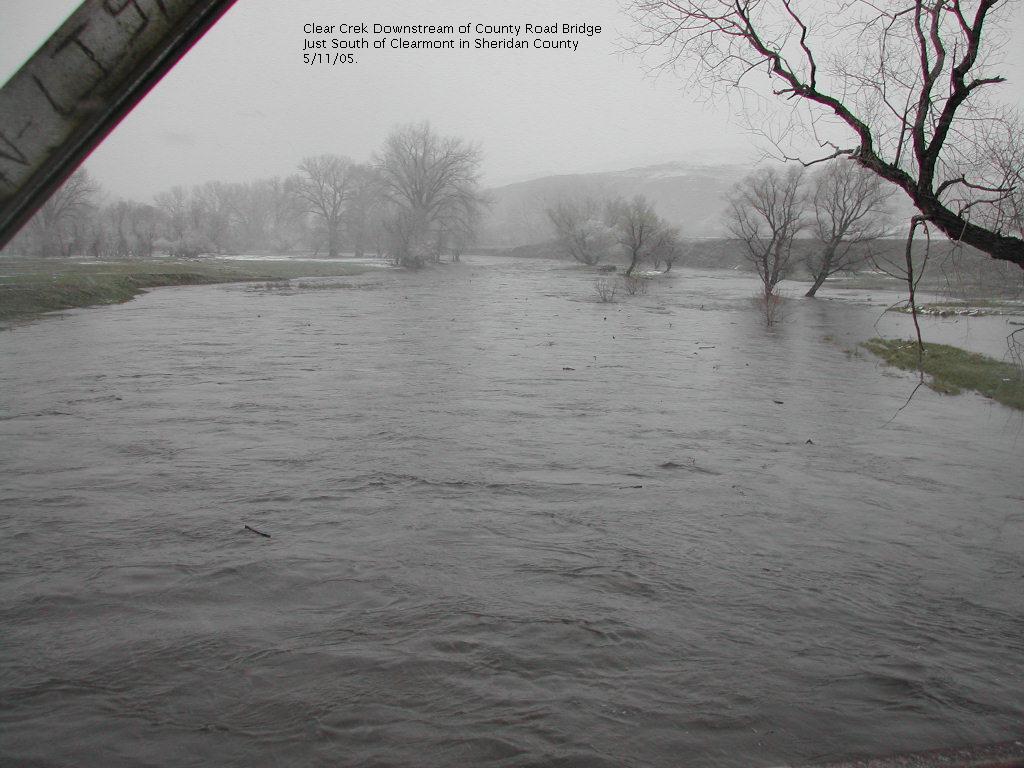
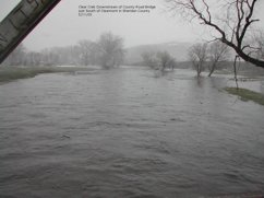 11 May 2005 - Clear Creek Downstream of County Road Bridge just South of Clearmont
|
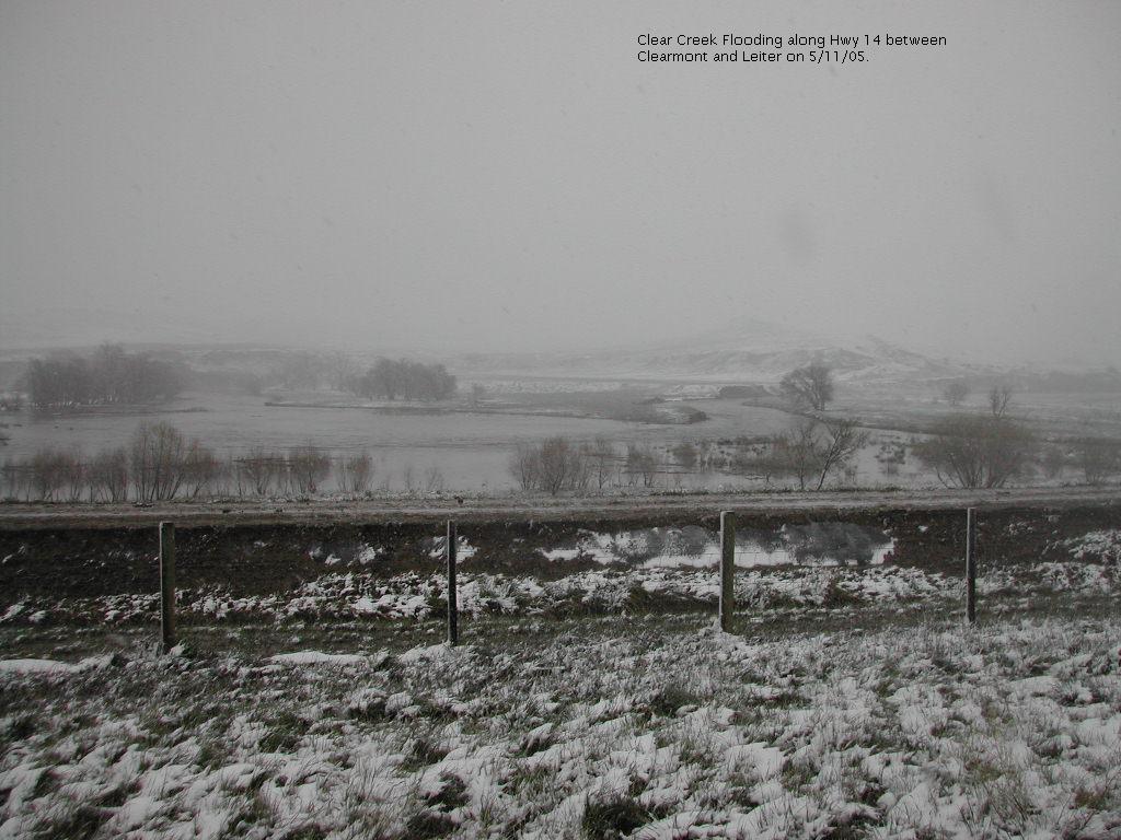
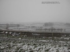
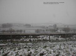 11 May 2005 - Clear Creek Flooding along Hwy 14 between Clearmont and Leiter
|
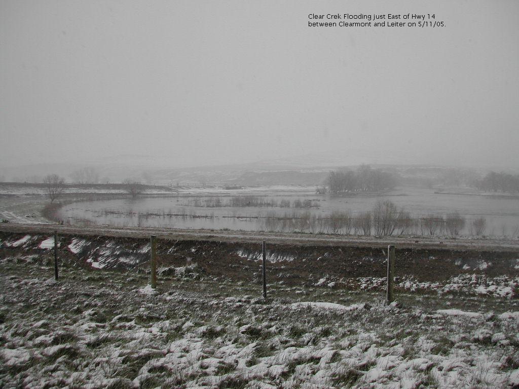
 11 May 2005 - Clear Creek Flooding along Hwy 14 between Clearmont and Leiter
|
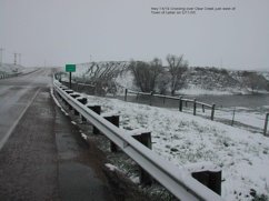 11 May 2005 - Hwy 14/16 Crossing over Clear Creek just west of Leiter
|
|
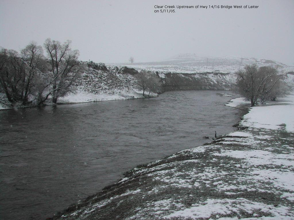
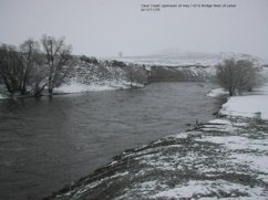 11 May 2005 - Clear Creek Upstream of Hwy 14/16 Bridge west of Leiter
|
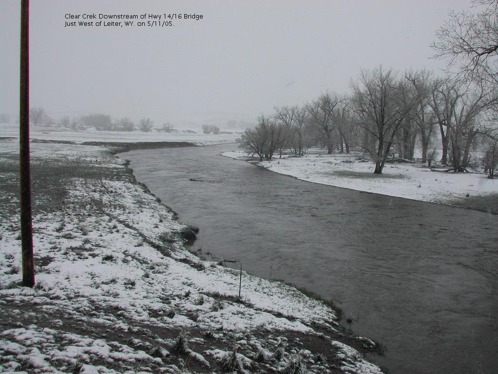
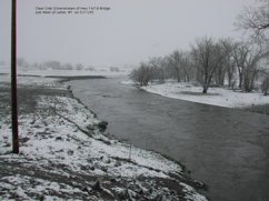 11 May 2005 - Clear Creek Downstream of Hwy 14/16 Bridge just west of Leiter
|
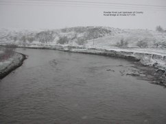
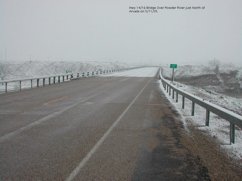 11 May 2005 - Hwy 14/16 Bridge over Powder River just north of Arvada
|
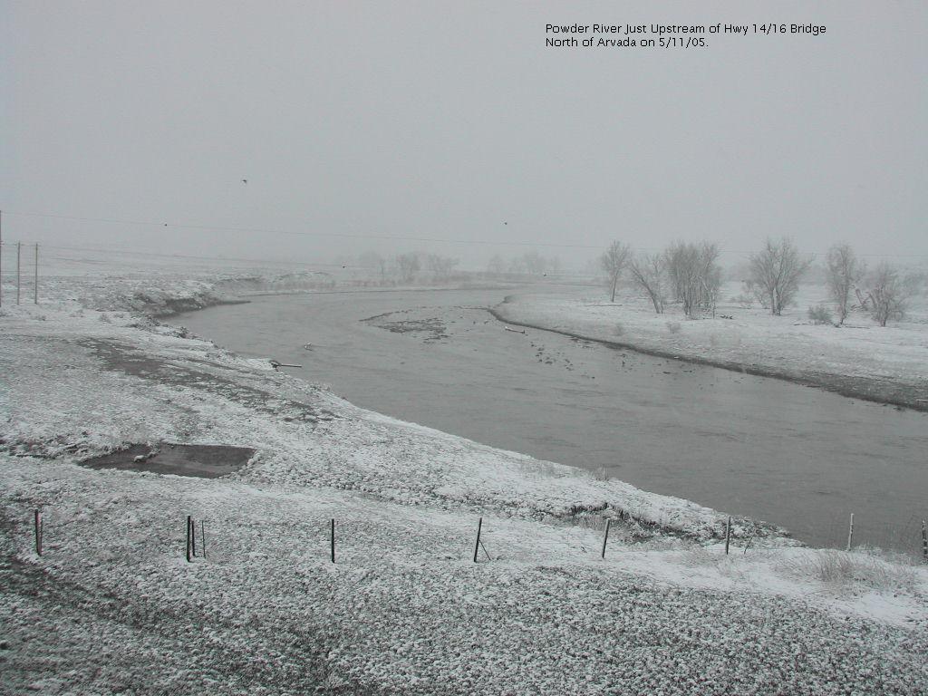
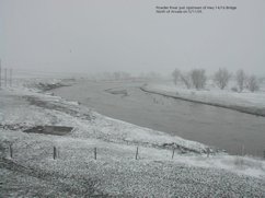 11 May 2005 - Powder River just Upstream of Hwy 14/16 Bridge north of Arvada
|
|
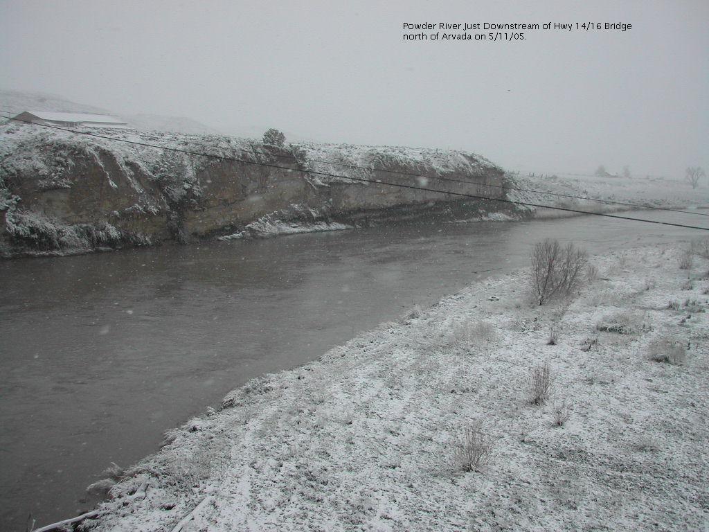
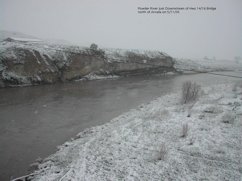 11 May 2005 - Powder River just Downstream of Hwy 14/16 Bridge north of Arvada
|
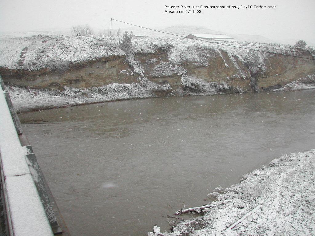
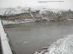 11 May 2005 - Powder River just Downstream of Hwy 14/16 Bridge near Arvada
|
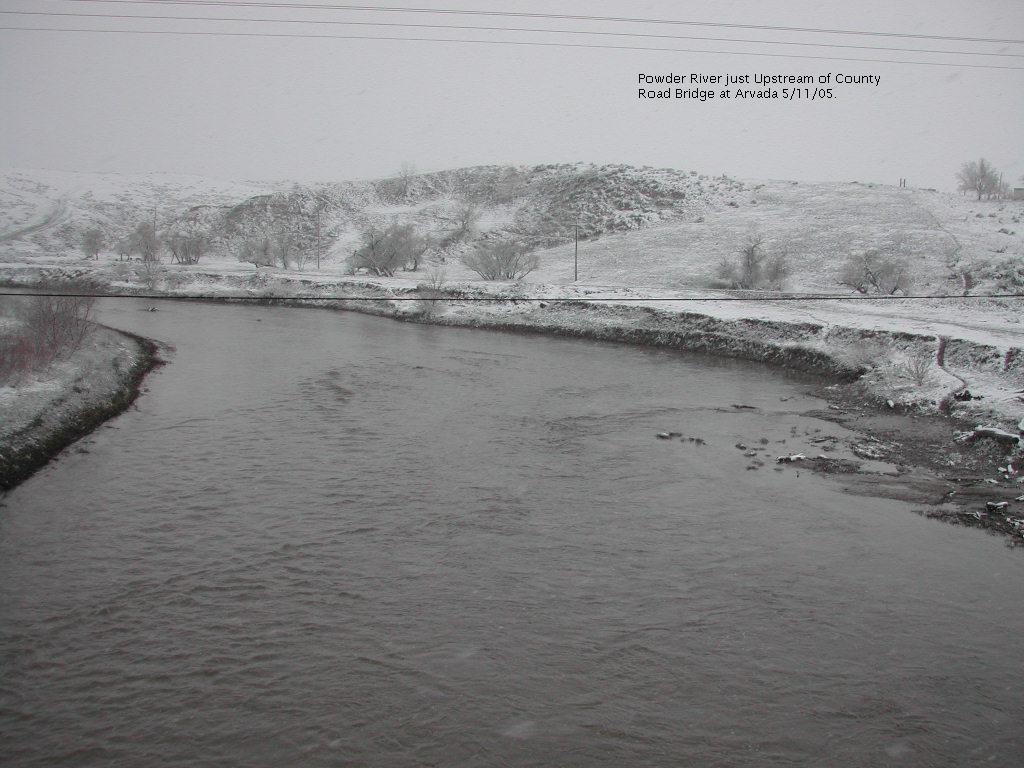
 11 May 2005 - Powder River just Upstream of County Road Bridge at Arvada
|
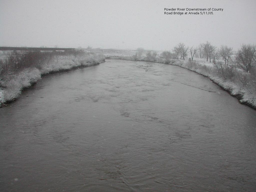
 11 May 2005 - Powder River Downstream of Couny Road Bridge at Arvada
|
|
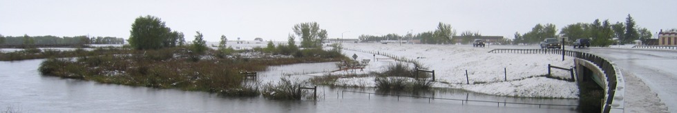
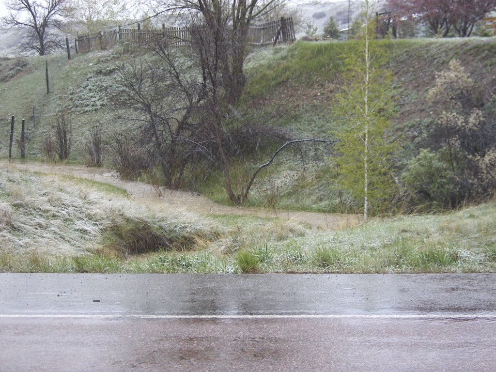
 11 May 2005 0700 - Big Goose Creek
|
 2005May11-0824-01.jpg
|
 2005May11-0824-02.jpg
|
 2005May11-0825-01.jpg
|
|
 2005May11-0826-01.jpg
|
 2005May11-0826-02.jpg
|
 2005May11-0827-01.jpg
|
 2005May11-0828-01.jpg
|