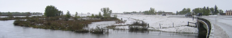
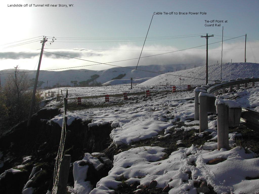
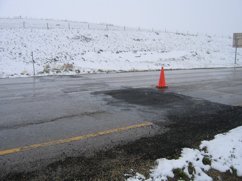
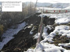
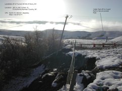
11 May 2005 1336 - North bound lane I-90, slump, looking south
|
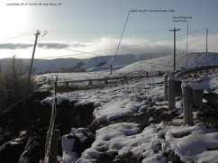
 11 May 2005 1336 - North bound lane I-90, slump, looking east
|
 11 May 2005 1336 - North bound lane I-90, slump, looking southeast
|
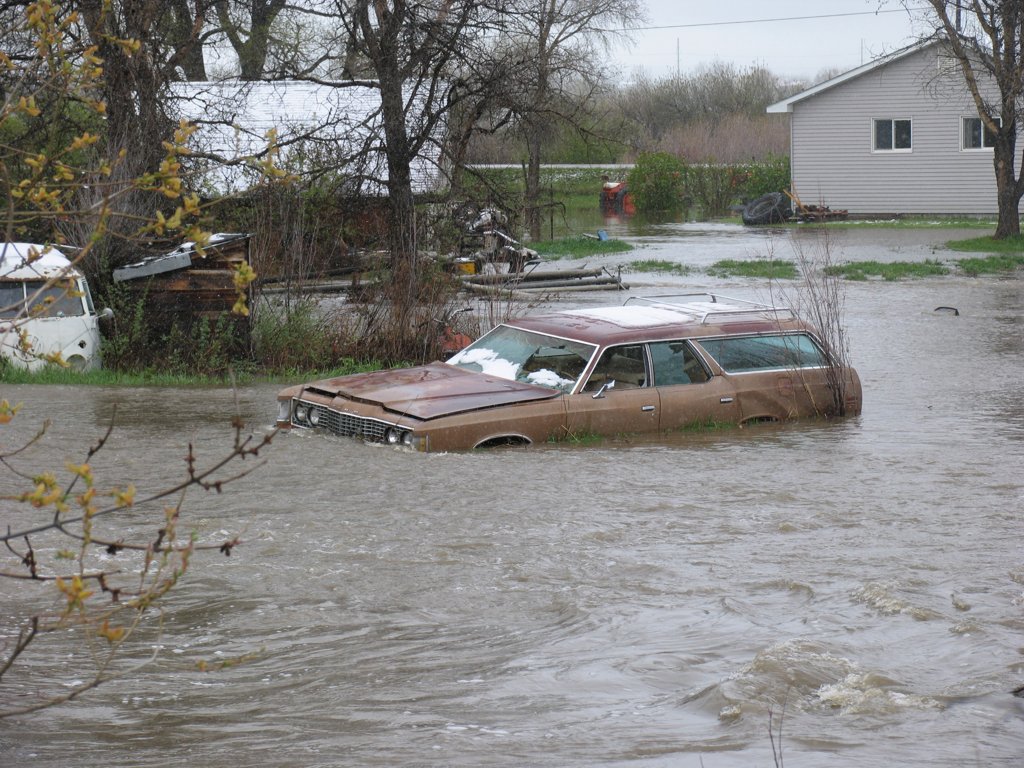
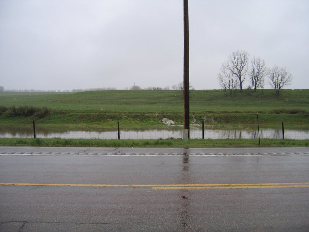
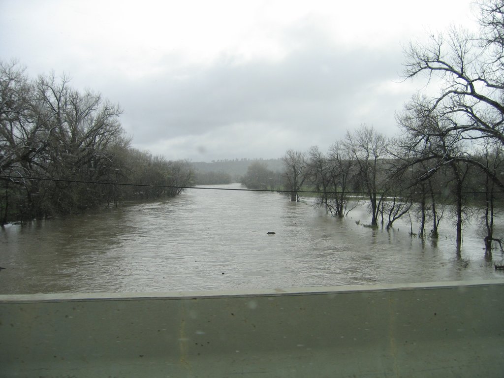
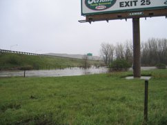
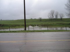
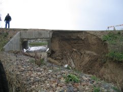
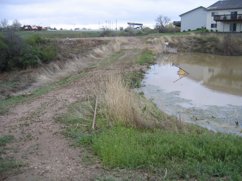
 2005May11-1400-01.jpg
|
|
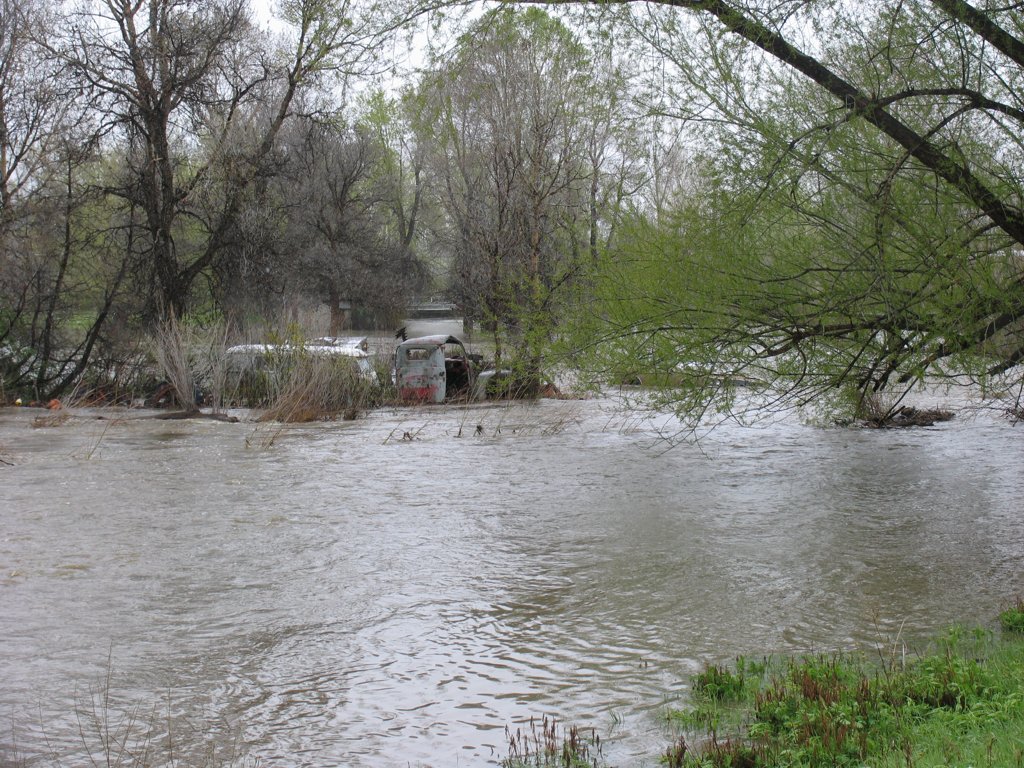
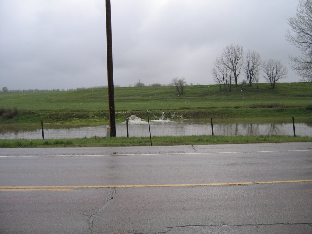
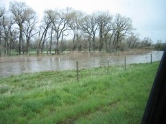
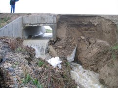
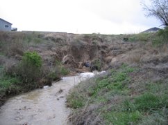
 2005May11-1401-01.jpg
|
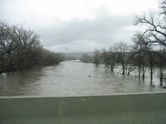
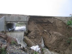
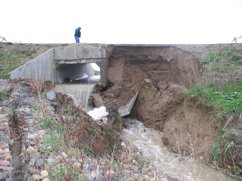
 2005May11-1402-01.jpg
|
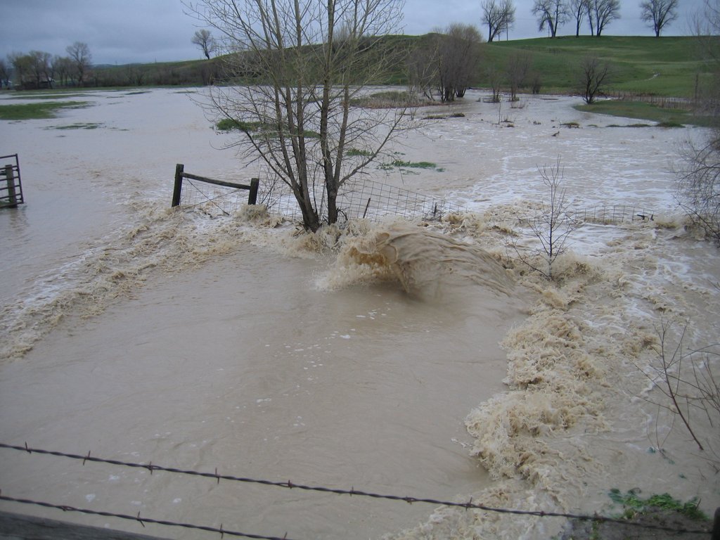
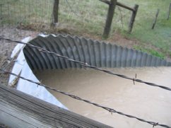
 2005May11-1443-01.jpg
|
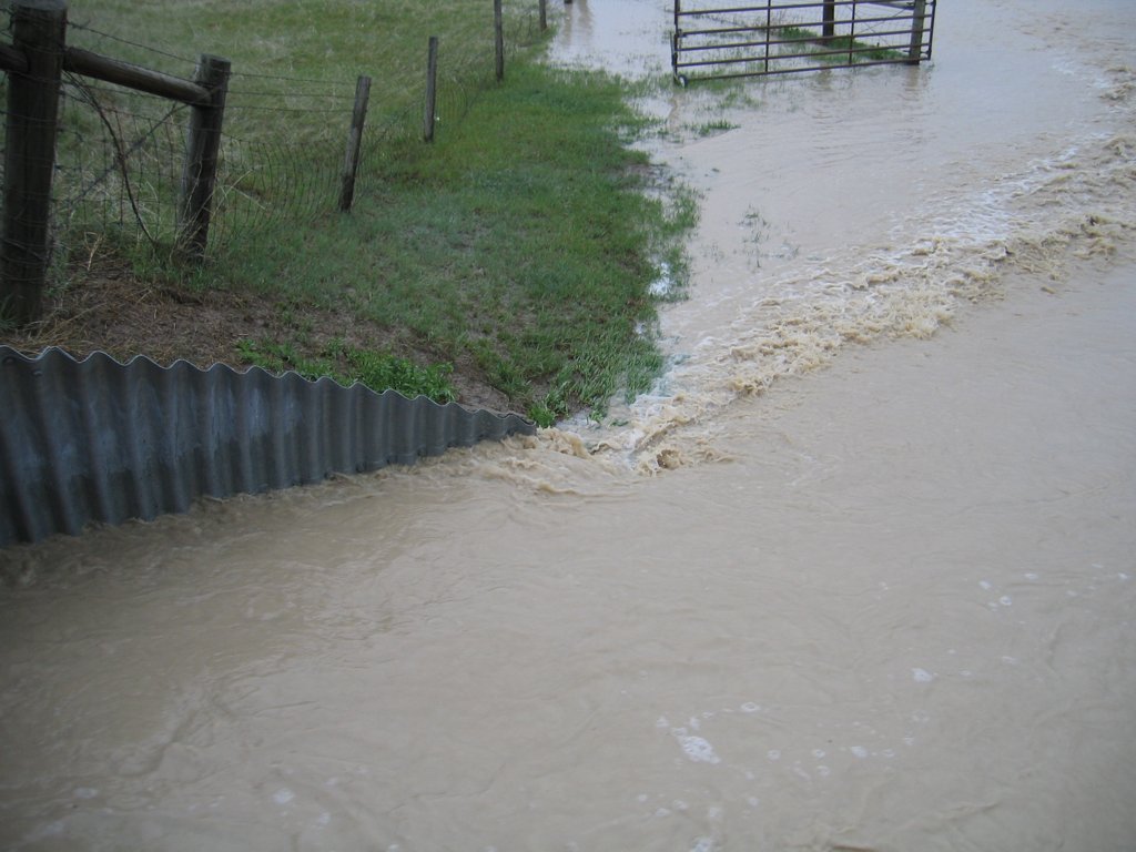
 2005May11-1444-01.jpg
|
|
 2005May11-1444-02.jpg
|
 2005May11-1444-03.jpg
|
 2005May11-1639-01.jpg
|
 2005May11-1648-01.jpg
|
|
 2005May11-1701-01.jpg
|
 2005May11-1754-01.jpg
|
 2005May11-1755-01.jpg
|
 2005May11-1755-02.jpg
|
|
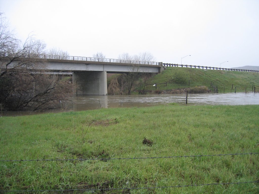
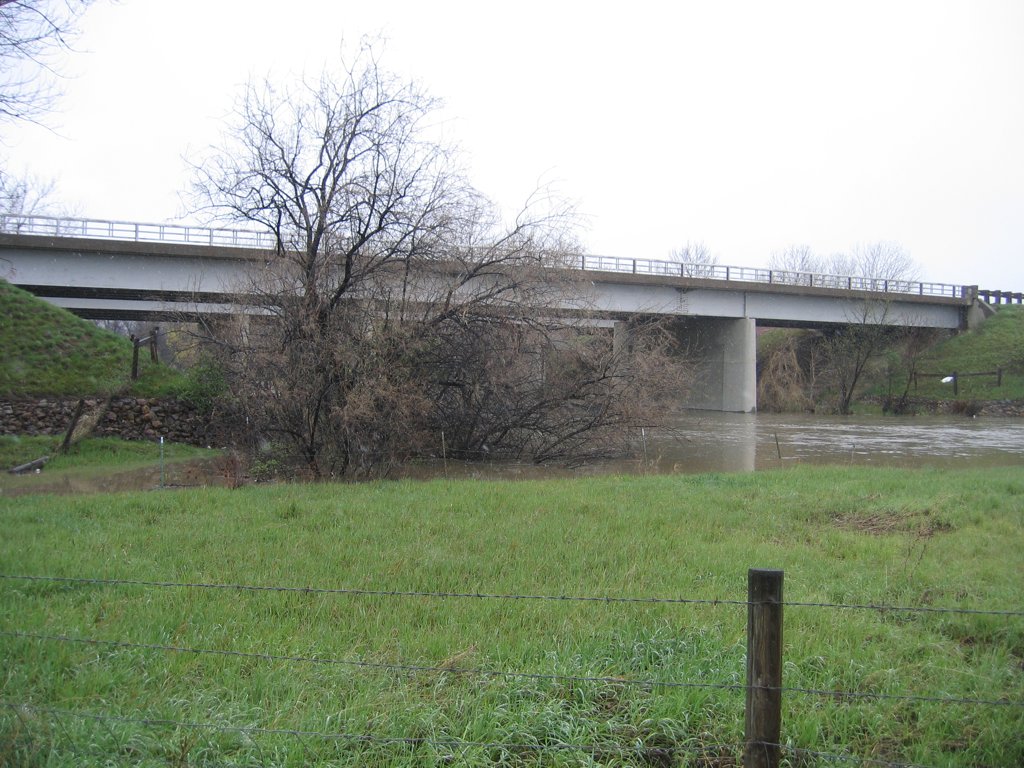
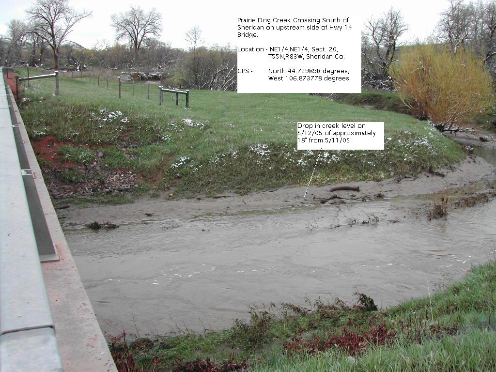
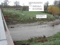 12 May 2005 - Prarie Dog Creek Crossing South of Sheridan on upstream side of Hwy 14 bridge
|
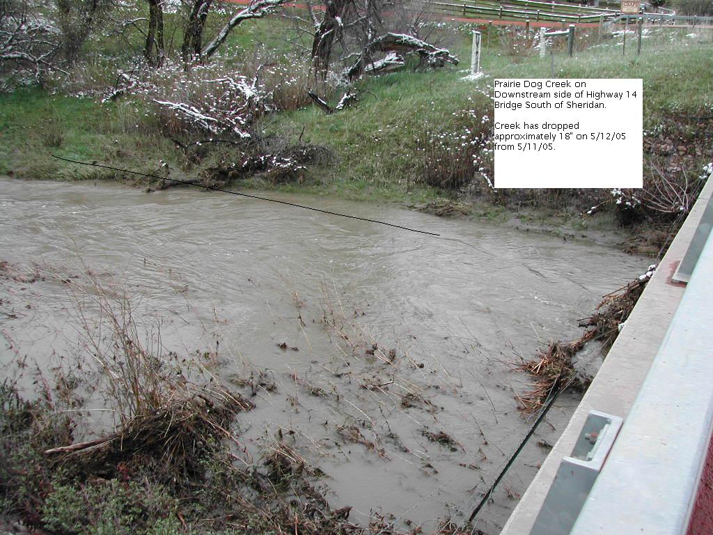
 12 May 2005 - Prarie Dog Creek on Downstream side of Hwy 14 bridge south of Sheridan
|
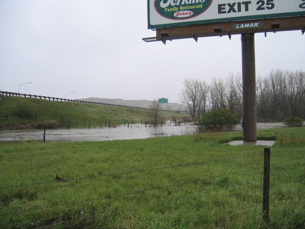
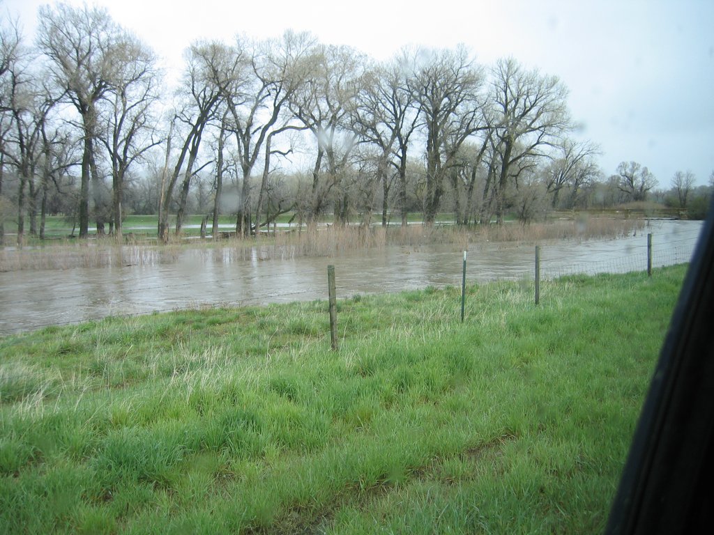
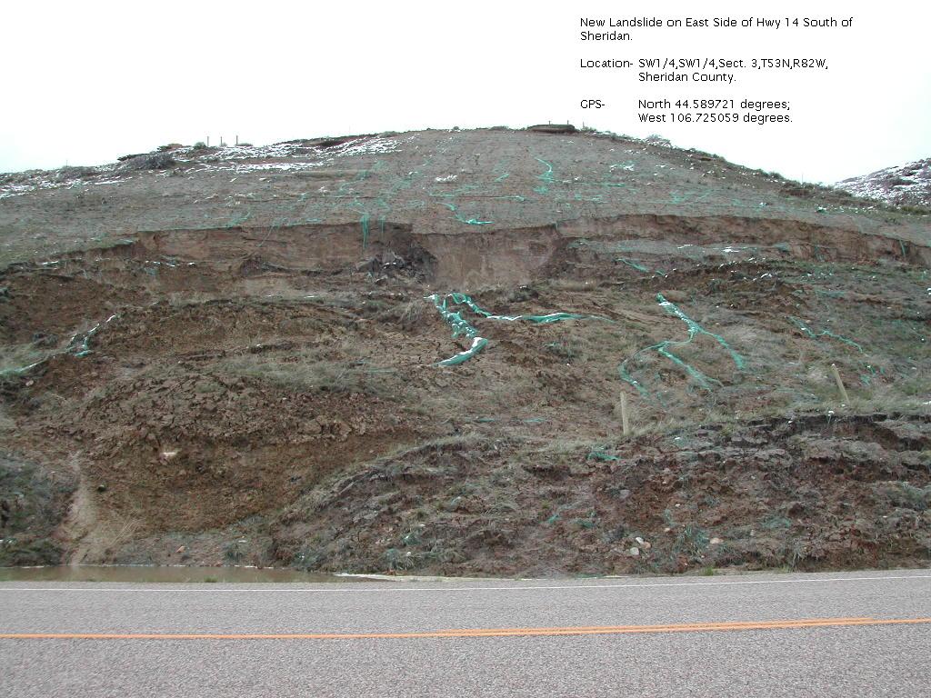
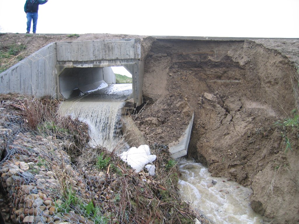
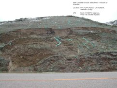 12 May 2005 - New Landslide on east side of Hwy 14 south of Sheridan
|
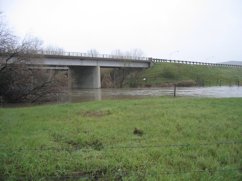
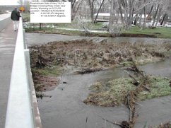
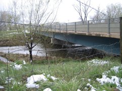
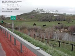 12 May 2005 - Piney Creek Crossing on Hwy 14 between Sheridan and Ucross
|
|
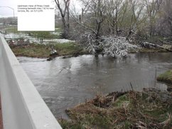
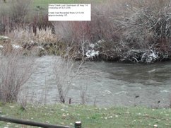 12 May 2005 - Piney Creek just Upstream of Hwy 14 crossing
|
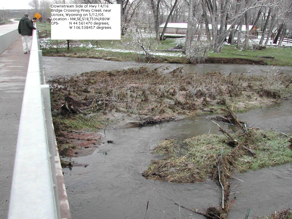
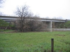
 12 May 2005 - Downstream side of Hwy 14/16 Bridge Crossing Piney Creek near Ucross
|
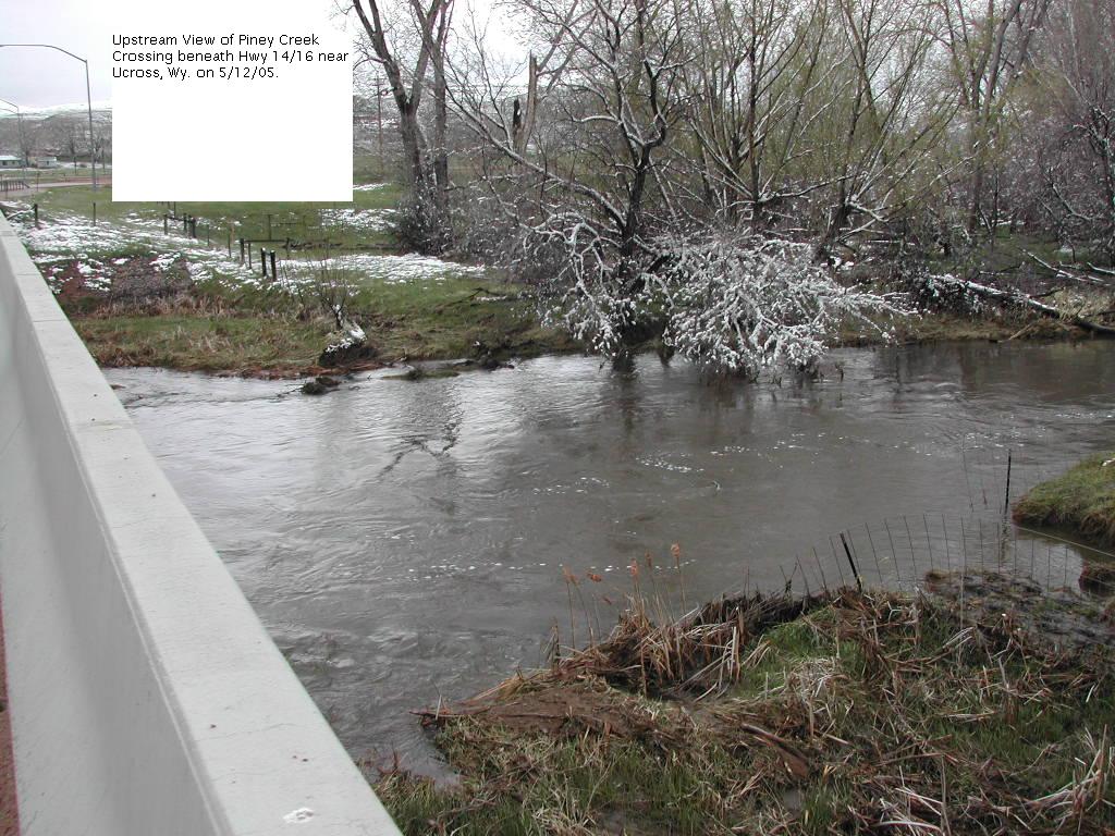
 12 May 2005 - Upstream View of Piney Creek Crossing beneath Hwy 14/16 near Ucross
|
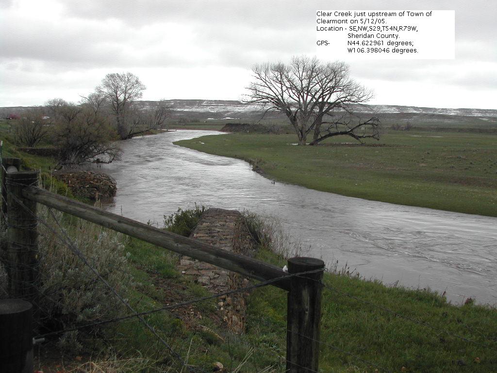
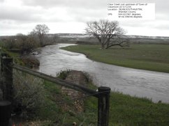 12 May 2005 - Clear Creek just upstream of Town of Clearmont
|
|
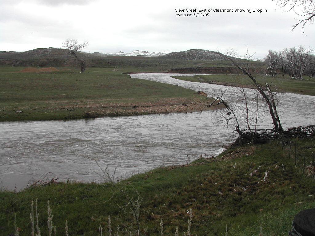
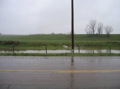
 12 May 2005 - Clear Creek east of Clearmont showing drop in levels
|
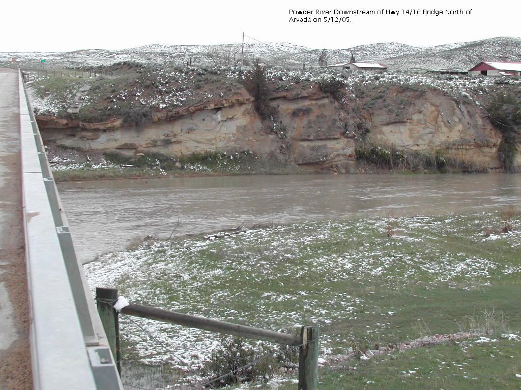
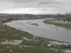
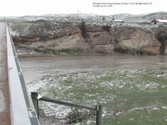 12 May 2005 - Powder River Downstream of Hwy 14/16 Bridge norht of Arvada
|
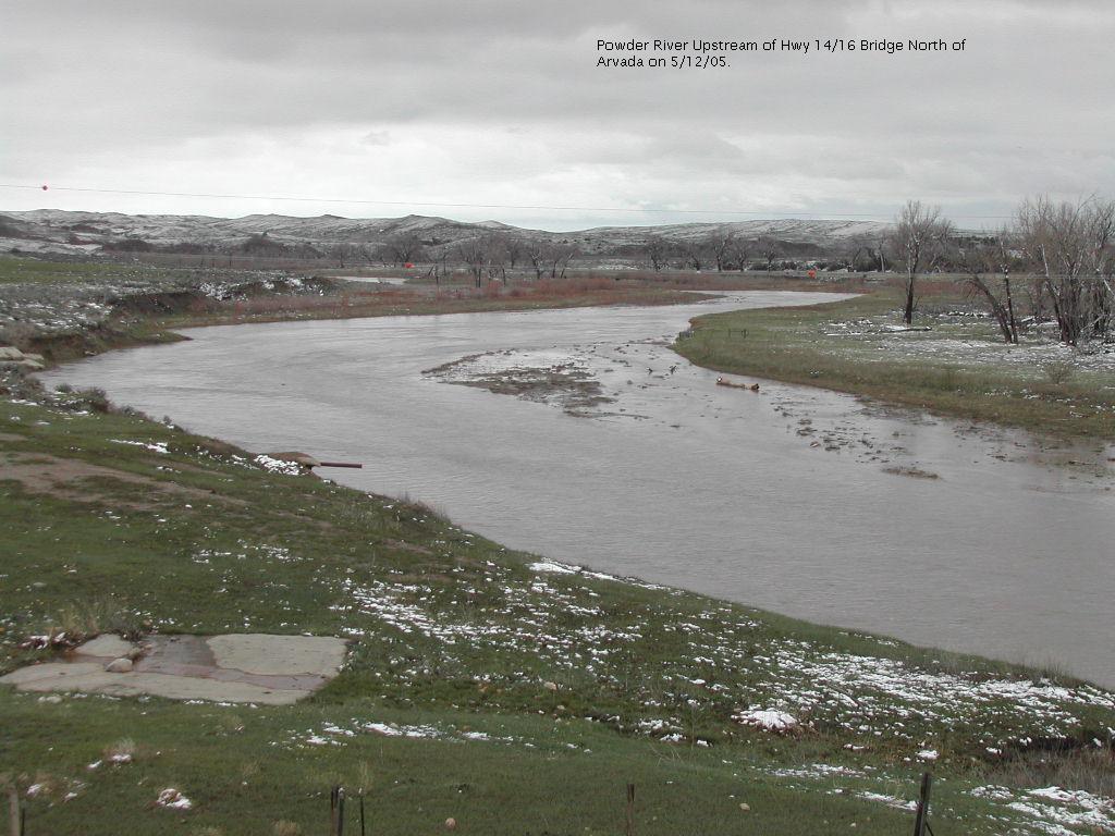
 12 May 2005 - Powder River Upstream of Hwy 14/16 Bridge north of Arvada
|
 2005May12-0804-02.jpg
|
|
 2005May12-0834-01.jpg
|
 2005May12-0834-02.jpg
|
 2005May12-1321-01.jpg
|
 2005May12-1803-01.jpg
|
|
 2005May12-1804-01.jpg
|
 2005May12-1804-03.jpg
|
 2005May12-1817-01.jpg
|
 2005May12-1817-02.jpg
|
|
 2005May12-1817-03.jpg
|
 2005May12-1817-04.jpg
|
 2005May12-1819-01.jpg
|
 2005May12-1819-02.jpg
|
|
 2005May12-1834-03.jpg
|
 2005May12-1841-01.jpg
|
 2005May12-1842-01.jpg
|
 2005May12-1856-01.jpg
|