|
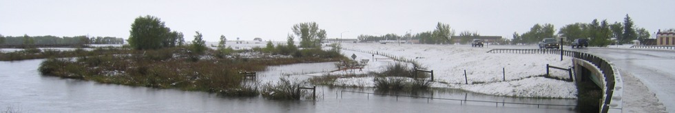
Uinta County Historical Floods
| DAMAGING FLOODS |
| Location | Start Date | Information |
|---|
| Mountain View | 9-Jun-1965 | Combination of rainfall and snowmelt runoff from Uinta Mountains caused heavy flood damage sustained by residents, ranches; several bridges damaged or destroyed. The event exceeded a 50-year flood. The following are discharge amounts according to WEMA Summary of Floods: East Fork of Smith Fork near Robertson (June 10) - 1,450 CFS, West Fork of Smith near Robertson (June 10) - 2,100 CFS, Burnt Fork near Burnt Fork (June 10) - 3,200 CFS, Henry's Fork near Lone tree (June 10) - 2,010 CFS, Black's Fork near Ly (June 11) - 7,960 CFS. According to FEMA Flood Insurance Study July 4, 1989 East Fork of Smiths Fork Gage had a discharge on June 10 of 3,550 CFS. |
| Mountain View | 4-Jun-1968 | Rain and snowmelt runoff caused flooding and damaged property and bridges. It was a greater than 50-year flood. The following are discharge rates: West Fork of Smith Fork near Robertson: 1,060 CFS (WEMA Summary of floods), East fork of Smith Fork Gage: 1,280 CFS (FEMA Flood Insurance Study July 4, 1989). |
| Fort Bridger area, Blacks Fork, Little Blacks Fork | 1976 | Flooding caused by rapidly melting snow caused water to cover roads and damage bridges. |
| Fort Bridger, Lyman | 22-Jul-1985 | Sudden downpours from storms flooded parts of the Bridger Valley. Minor flood damage was reported at Fort Bridger and Lyman. |
|